Mount Monadnock: One of the Top Mts Climbed in the World
- Steve
- Sep 8, 2020
- 3 min read
Updated: 4 hours ago
Hike distance: 6.2 miles
Elevation Gain: 1,748 ft elevation gain
Prominence: 2,150 ft
TrailsNH Hiking Difficulty Calculator: 147 – Moderately Strenuous

Click here for a review of prominence and its role in mountain topography
Click here to navigate to the TrailsNH website for a description of the hiking difficulty calculator
Let's address this point immediately. Surprisingly, Mt. Monadnock is often mentioned by climbing sources as the second most frequently climbed mountain globally, following only Mt. Fuji in Japan. On a warm September day, I joined the ranks of the 125,000 people who climb Monadnock annually. Dave was dealing with a sore foot, so I hiked it by myself.
Here are the trails I followed on this hike.

The width of the trail was a reminder of the heavy foot traffic and popularity of this mountain.


Filled with rocks and tree roots, the trail began a steady ascent.

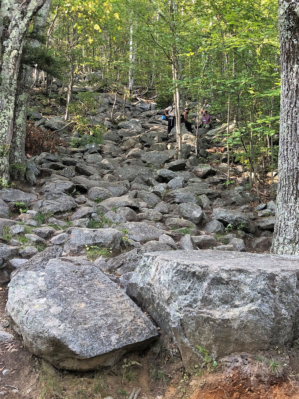
The trail became more steep with large boulders that intensified the scrambling.

Finally, the trail plateaued around the tree line and provided glimpses of the surrounding mountains and hills of southern NH.


The trail crossed multiple rock ledges and at times weaved in and out of the trees.

I climbed high enough to get a clear view of Thorndike Pond and the mountains to the northwest.

The Cascade Link Trail looped around completely to connect with the Pumpelly Trail, which follows the mountain's backside.

A short distance after joining the trail, the summit came into view.

Once out of the trees, the last push to the summit was one giant rock scramble.

Cairns mark the 'best' path on the slab .

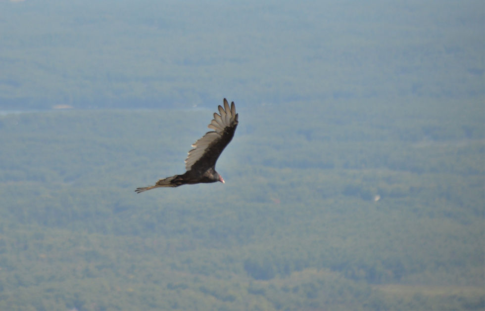
Turkey vultures were riding the thermals. These scavengers feed almost exclusively on dead animal carcasses. It's a large bird with a wingspan of 5-6 feet. Turkey vultures are gregarious and roost in large community groups, breaking away to forage independently during the day. Several hundred vultures may roost communally in a single group.

A last stretch of climbing to reach the summit.

From this viewpoint I could see people congregating on the summit. Because I had chosen a less common path to the summit, I encountered less than half a dozen people until I reached the summit.

Mt Monadnock is a bare dome composed of rugged metamorphic rock, including schist and quartzite, which was smoothed by glaciers around 18,000 years ago.

The summit remains barren primarily due to fires ignited by early settlers. The first significant fire occurred in 1800, intended to clear the lower slopes for pasture, and it swept through the virgin red spruce stands on the summit and mountain flanks. Between 1810 and 1820, local farmers, suspecting that wolves were denning in the blowdowns, set the mountain ablaze again. This intense fire burned for weeks, stripping the topsoil and leaving the mountain bare above 2,000 feet. Although trees are gradually returning as the soil is naturally replenished, it will take centuries for nature to fully restore the damage.

From the summit, which stands at 3,165 feet, you can view all six New England states and see as far as 100 miles in every direction. Despite it being a weekday, the area was quite crowded, so I located a secluded spot on a ledge and enjoy a quick snack

Mt Monadnock towers over 1,000 feet higher than any other peak in the area.

Since I started after 12:30pm, I decided to take the most direct route down on the White Dot Trail. The trail started out on easy rock slab sections.

Here's a great view of the summit from the trail heading down.


It wasn't long before I reached the trees.


This was one of my last views before I entered a more dense forested area.

The trail was moderately steep in some places.

And being New England, there was no shortage of rock scrambles.

It was a nice hike and I'd definitely come back again if Dave wants to experience Mt Monadnock.
Hike Distance: 6.2 miles
Duration: 4.75 hours
Average Pace: 45.5 min/mile


Comments