Exploring the Abandoned Town of Dana, Massachusetts
- Steve
- Sep 10, 2021
- 6 min read
Updated: 4 days ago
Distance: 10.3 miles
Dana was one of four former cities that was disincorporated in 1938 to make way for the Quabbin Reservoir. The Quabbin is the largest inland body of water in Massachusetts and was built between 1930 and 1939. It is the primary water supply for about 40% of the state's population. The reservoir has an aggregate capacity of 412 billion US gallons and covers an area of 38.6 square miles.

Early in the twentieth century, Massachusetts officials worried that demand for water in the fast-growing Boston area would soon exceed the capacity of existing reservoirs. The idea of creating Quabbin Reservoir was put forward as early as 1919. Searching for a site on which to create a new reservoir, planners settled on the Swift River Valley in Central Massachusetts. It was from their perspective a perfect location. The Swift River fed the valley which was surrounded by low hills. Dam the river and the result would be an enormous lake. There was no major industry in the area; no highways passed through; no landmarks stood in the way — again a 'perfect' location. In 1922 the State Legislature formally proposed the measure to create the Quabbin Reservoir. In 1927, the Legislature legally impounded the mighty Swift River, thereby clearly declaring its intention to take the towns of Dana, Prescott, Enfield and Greenwich by eminent domain. The 2,500 inhabitants had no choice but to accept the price of progress and were forced to uproot their lives. Land owners were compensated at approximately $108 per lost acre.
According to historical records, town officials received the following letter on April 28, 1938:
To all former Town Officers of the Towns of Enfield, Greenwich , Dana, and Prescott :
By the terms of Chapter 321, Act 1927, as amended by the Chapter 240 of the Acts of Resolves of the Legislature of the year 1938, you are hereby formally notified that the corporate existence of the aforesaid towns ceased at 12 o'clock midnight, April 27th.
In view of this fact, the town's officers are to carry on no municipal function on and after April 27 th and shall do only such acts as are necessary to effect the transfer of properties of the municipalities to the Metropolitan District Water Supply Commission and to effect the commitment of taxes to the town to which the respective territories are annexed.
Metropolitan District Water Supply Commission
R. Nelson Molt
Secretary
By 1939 the rising water began to submerge the roads that had linked the four towns and swallowed all but the peaks of about 60 hills and mountains. In June 1946, Quabbin Reservoir was declared full.

The hike to Dana Commons is considered one of the best historical hikes in the Quabbin Reservoir watershed. A small parking lot along Route 32A in Petersham marked the start of the hike at an area known as Gate 40.

The trail follows an old paved road that led to the Town of Dana. While it might be nice to think the asphalt dates back to the 1930s that's highly unlikely, but the broken asphalt, moss covered surfaces, and canopy of trees left us with a feeling of walking back in time.

After a short distance, we found the George Carter Poor Farm. This was a large farm house and barn complex that was originally the town’s 'poor farm'. The farm was where people down-on-their-luck could work in exchange for free room and board. The farm in return provided food or goods for the community. The stone basement is all that remains and nature is working hard to reclaim these last fragments.

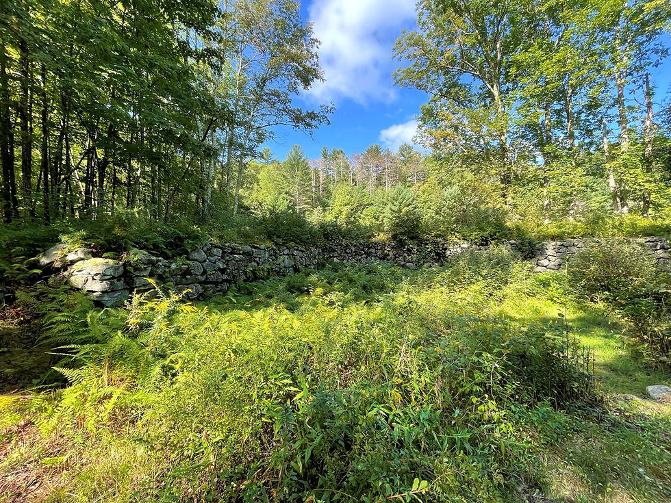
Old moss-covered stone walls marked the property lines of homes that once bordered the street leading to the center of Dana.

Ater 1.5 miles we entered Dana Common, formerly the center of this once-vibrant town. Dana was settled in 1763 and incorporated in 1801. In 1830 census records identify 623 residents. The population continued before reaching its all-time high of 876 people in 1860. In 1935, three years before the town was disincorporated the population had declined to 387 people.
Most of Dana’s earliest buildings were constructed around the small, triangular Common during the period from 1840 to 1855.

Today you need to use your imagination in order to reconstruct Dana Common.

As part of the Quabbin’s creation, all homes, farms, and places of business were systematically destroyed and the land cleared. Stone foundations, cellar holes, granite steps, fragments of paving, stone fence posts and walls reflect a world that is now gone.

Maybe Dana was 'lucky' since most of the town was above the watershed line it was spared from flooding thus leaving these remains for future generations to explore.

Entering the Commons, the first large cellar hole that you see is the remains of the Center School. This 2-story structure housed grades 1-5 on the first floor and grades 5-8 on the second floor. According to the 1931 Town Annual Report, 33 students were enrolled in the Center School.

After 8th grade, many children went to work full-time in local factories or farms. There were no high schools in the Swift River Valley, so if a student wanted to continue their education, they had to travel at their own expense to a high school in the neighboring cities of Orange or Athol. In the 1931 Town Report, the Superintendent of Schools reported:
'At the present time the Town of Dana has twenty-four pupils attending high school, 19 at New Salem Academy, 3 at Barre, and 2 at Petersham. These pupils are, in general, making good use of the advantages offered them, and should be encouraged to remain in school as long as they can do so profitably.'

These stone fence posts marked the border of the Center Cemetery which was located adjacent to the school. There are no tombstones here because there are no bodies. All the remains from this cemetery were exhumed and reinterred in the new Quabbin Cemetery in the nearby town of Ware.

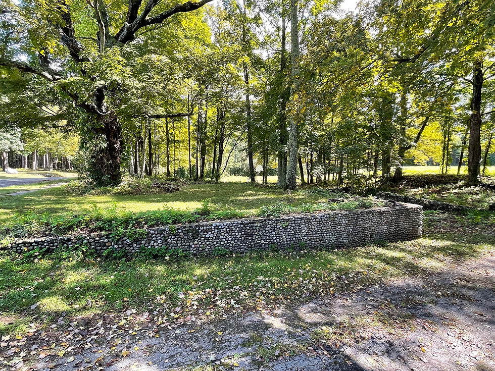
In my opinion, the remarkable stone-retaining wall of the Edger Vaughn's residence stands out from all the other architectural remains in the Common.

The Vaughns built this wall with stones they found in local streams. The fact that most of the wall is still intact, after all the efforts to raze this town, is a testament to the people who built this proud community.

By late 1939 or early 1940, the task of razing all buildings was completed - then nature stepped in to begin the process of hiding what remained of Dana Commons.

It may not be possible to fully comprehend the efforts to erase Enfield, Greenwich, Prescott, and Dana and clear all trees from the soon-to-be submerged areas, but this photo provides historical evidence.

After spending time walking around the Common, we decided to follow Greenwich Dana Road out of town toward the reservoir. The further we walked, the more the road seemed to disappear into the greenery.

We followed the road for more than a mile until we found a side trail that led to an Army F-94 crash site. We had no problem locating the trail using the AllTrails app, but other people have reported difficulty finding the faint trail without the help of an app or using GPS coordinates.

After less than half a mile, we began to see scattered pieces of twisted metal and it became clear we had found the crash site

On the night of February 14, 1955, Lt. Dewwey Durett was flying a routine training mission over Central Massachusetts when his F-94's engine failed. He successfully ejected over the Town of Pelham.

Before ejecting he put the aircraft into a dive into the Quabbin Reservoir. He saw no explosion and just the crash so he assumed that the aircraft had crashed through the ice into the water's depth.

The aircraft was not discovered for over five years. Surprisingly, collectors and enthusiasts have not stripped the site of 'souvenirs'.

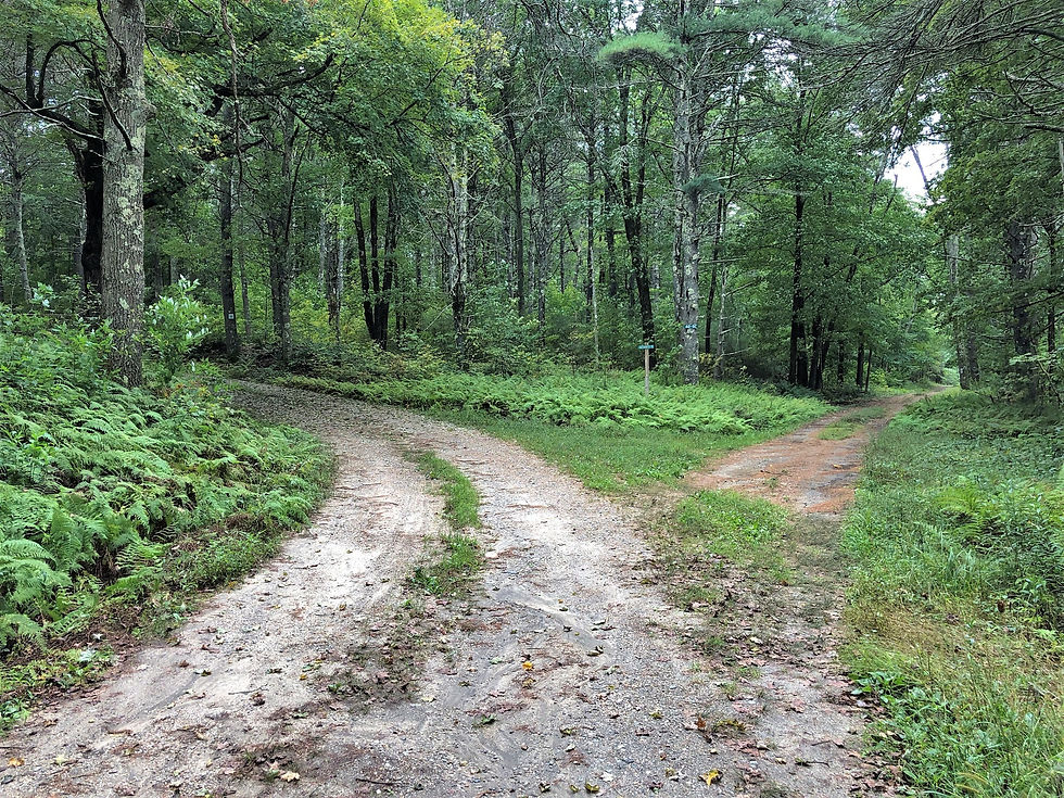
We returned to Dana Road and continued following the 'trail' to the shores of Quabbin Reservoir. Whenever the road split there were street signs to help guide the way.

Although they are modern additions, these signs are symbols of a time when these roads had real meaning. Now most of the them terminate at the water's edge.

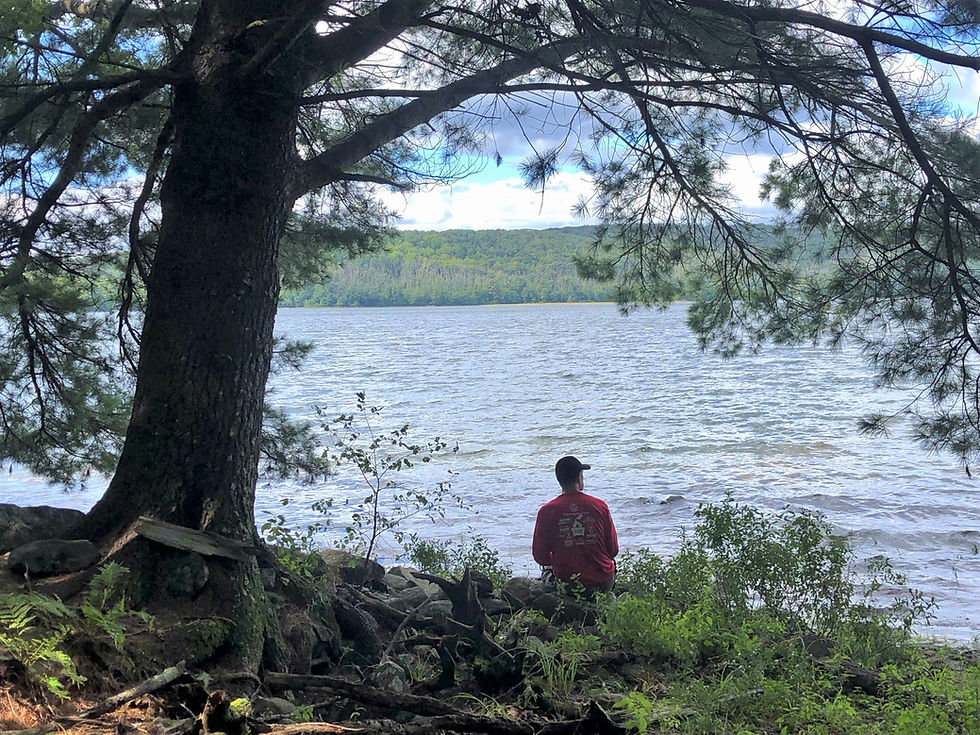
After another mile, we reached the shore of Quabbin Reservoir. There are no sign of civilization in the protected watershed but I wonder what 'submerged town relics' lie under these waters.

We found a perfect lunch spot and enjoyed the views.


On the way back, we took the time to appreciate some of the flowers that were blooming along the road.
We also spotted a 5-8 inch Northern Ringneck snake on the side of the trail.

The hike to Dana Commons and the Quabbin was such a different experience from most of our typical hikes in New England. History and scenery, a great combination.


Comments